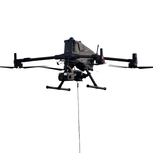
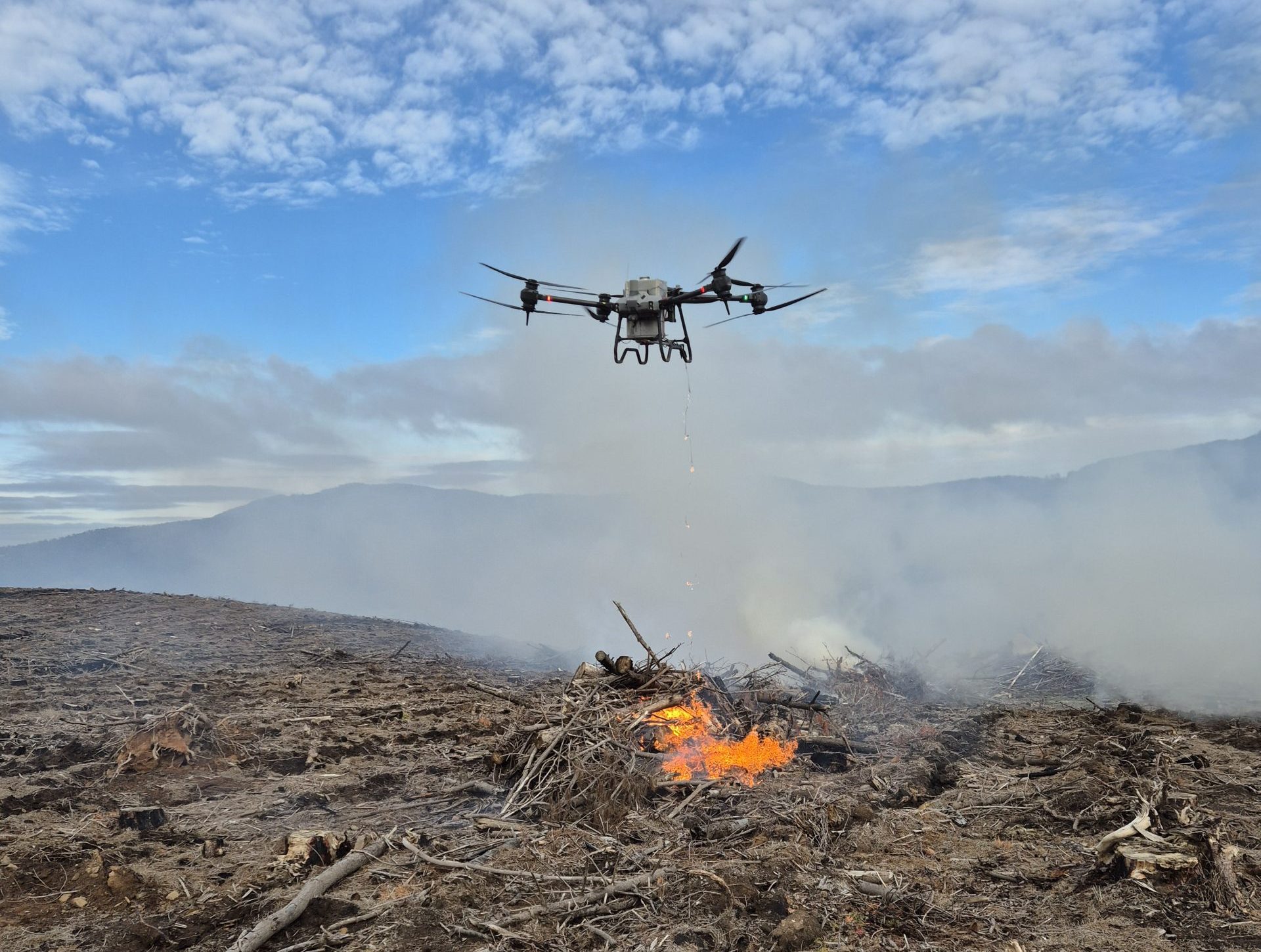
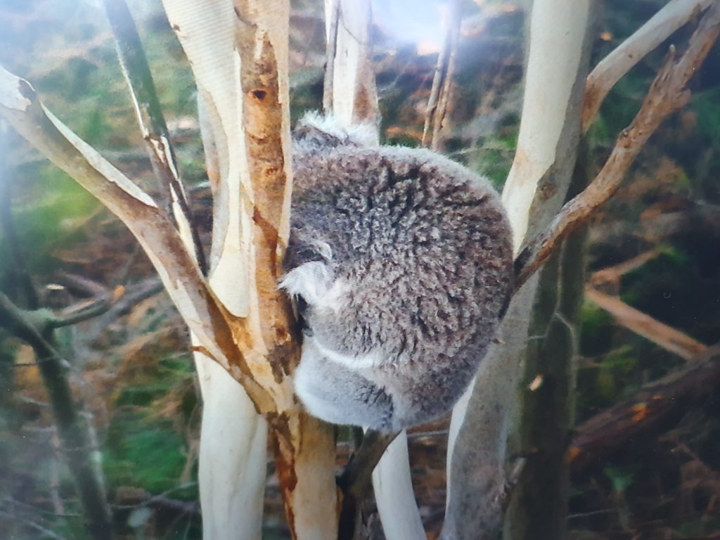
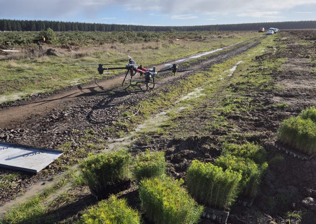
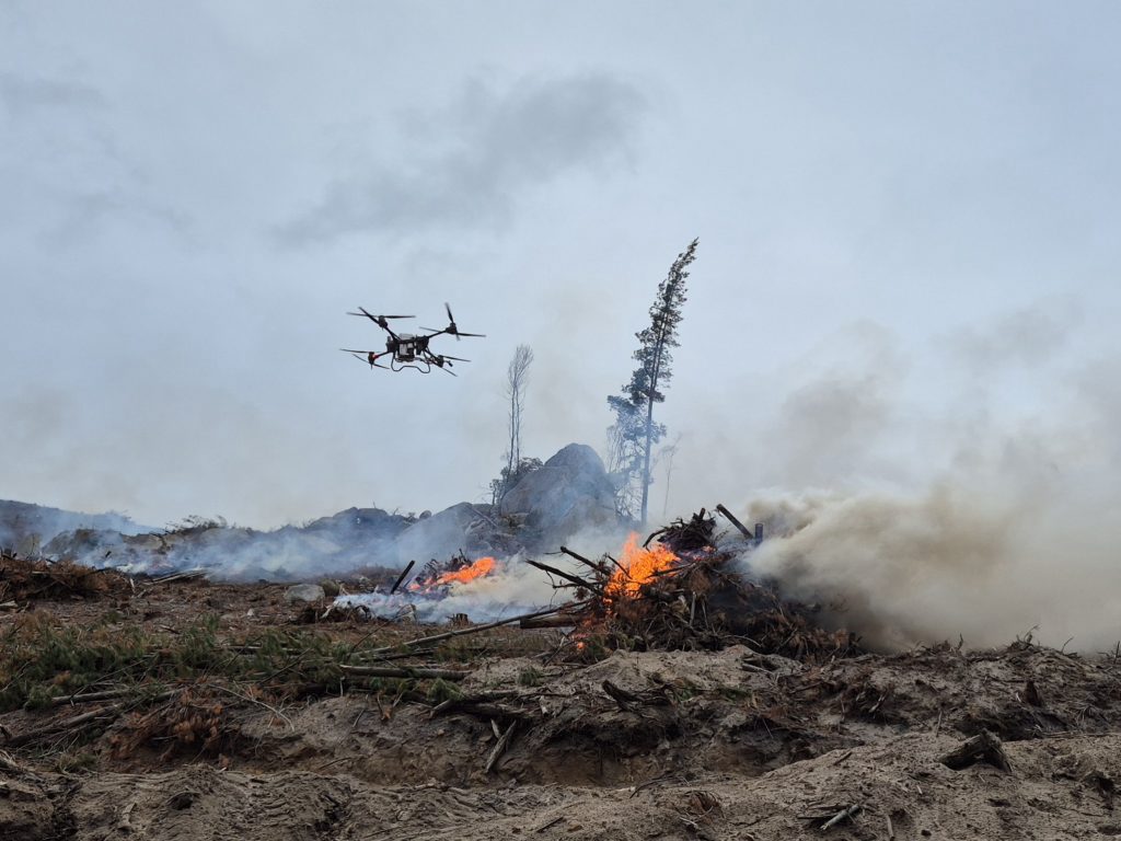
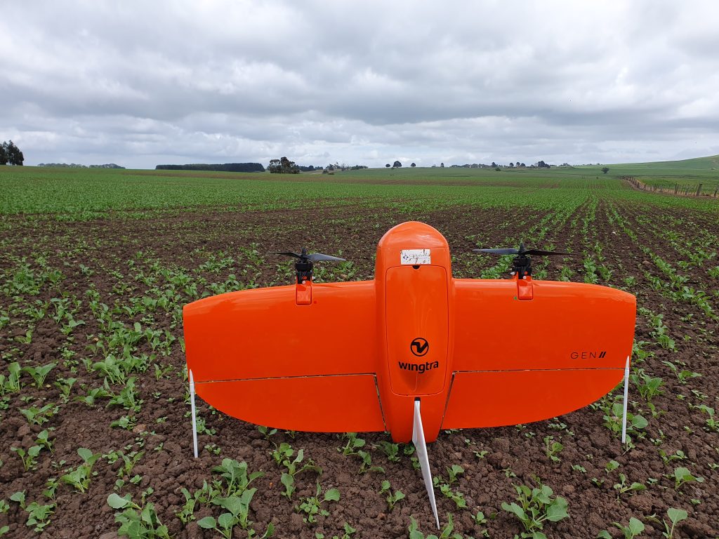
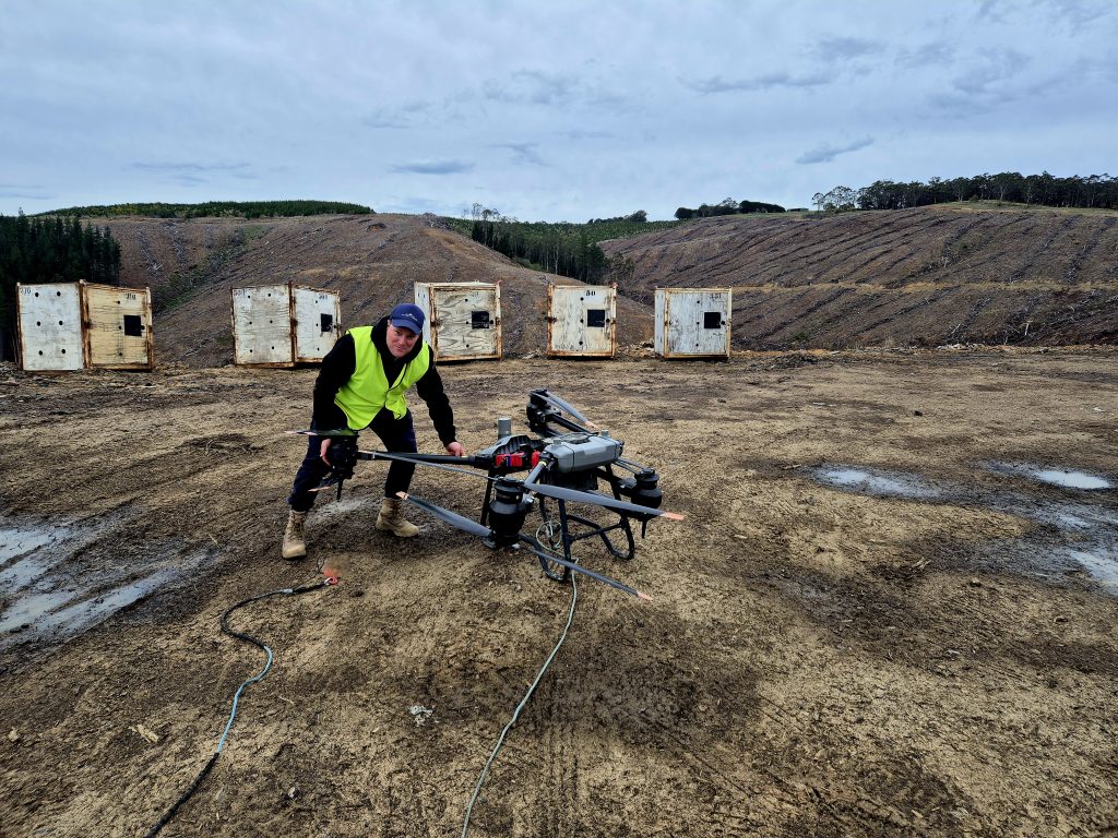
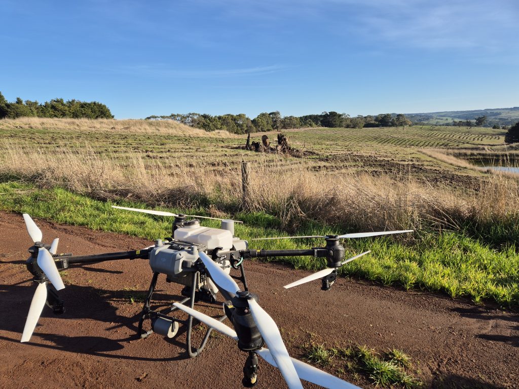
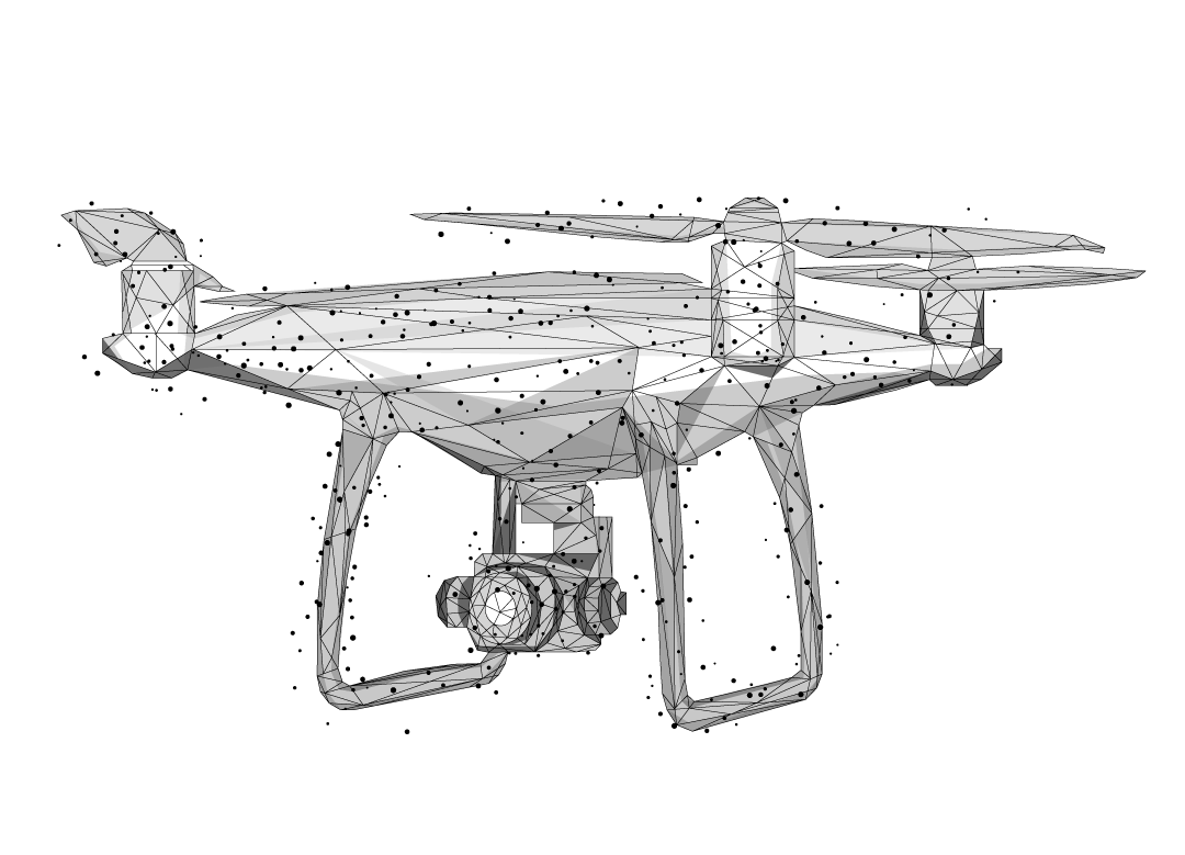
Welcome to On Point Drones
On Point Drones helps you make smarter land management decisions and produce precision agriculture with drone data and footage.
Our real-time drone coverage helps farmers and property owners to:
– accurately survey and map land
– inspect crops, livestock and irrigation equipment
– monitor and reduce chemical use
– gather vital productivity and environmental data.

AERIAL MAPPING
On Point Drones offers state of the art land mapping and survey technology and services, including LiDAR.

seeding/Baiting
We provide an extremely cost-effective aerial solution for agricultural seeding.

SPRAYING
We specialise in drone spraying services designed to accurately deliver agricultural chemicals, saving time and money.

Greenhouse Whitewashing
Our drones can apply a weather-resistant screen product that reduces the amount of sunlight entering a greenhouse in summer.