At On Point Drones, we provide precise, safe, and cost-effective aerial surveys and inspections for industries that need reliable data without the risks and costs of traditional methods.
Our Capabilities
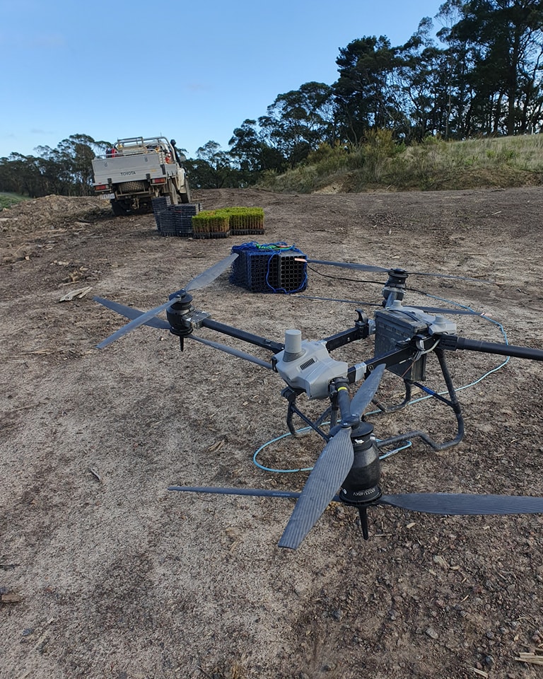
Forestry & Environmental – Tree health assessments, canopy surveys, habitat mapping, and koala monitoring.
Infrastructure & Utilities – Powerline, solar, and tower inspections with high-resolution imagery and thermal sensors.
Mining & Construction – Stockpile measurement, progress tracking, and safety inspections.
Government & Councils – Asset inspections, compliance checks, and environmental monitoring.
Every project is different. We work closely with clients to deliver survey data in the format you need—whether that’s high-resolution imagery, 3D models, thermal maps, or compliance reporting.
Why Choose Drone Surveys?
Access hard-to-reach areas safely
Capture detailed aerial imagery and LiDAR data
Reduce inspection downtime and costs
Deliver accurate, actionable reports
Connect with us today
Ready to make inspections safer, faster, and more accurate? Contact On Point Drones today to discuss your survey requirements.